10 July 2024
NSF SAGE/GAGE Community Science Workshop highlights the breadth of the geophysical toolkit
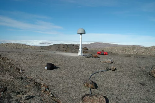
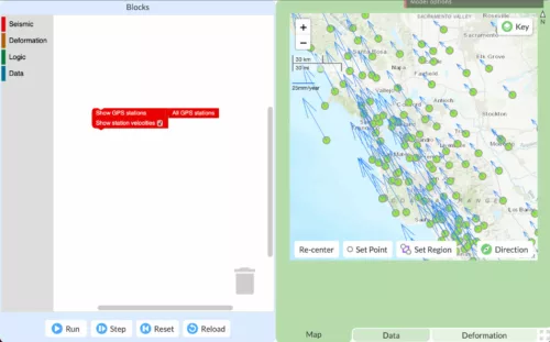
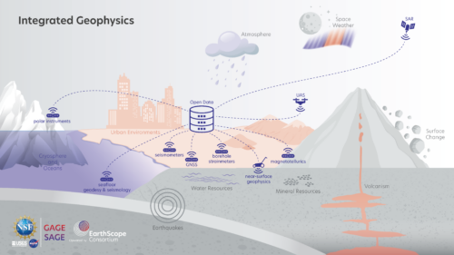
The techniques in our geophysical toolkit have grown exponentially over the years. By understanding research in these fields using these tools, we can see the applications to geophysics and bettering society.