

We can support projects and education efforts with various instruments, in addition to special data requests and support for broader impacts activities.
For more information on education resources for teaching with instrumentation, visit the Geophysics Field Education page.
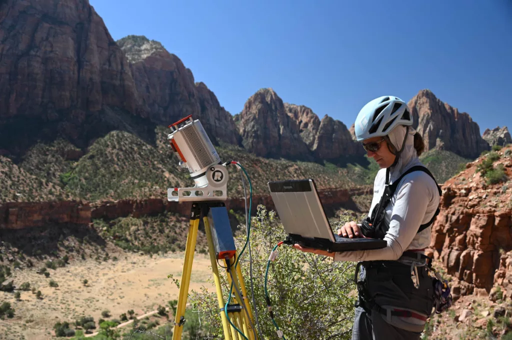
Available instruments include seismometers, magnetotelluric instruments, GNSS instruments, grounding penetrating radar, terrestrial laser scanners, uncrewed aerial systems for structure from motion, and associated equipment for campaign or continuous operation. To submit a request or make an inquiry, select an option.