
18 May 2026
The Legacy of the Plate Boundary Observatory at Mount St. Helens
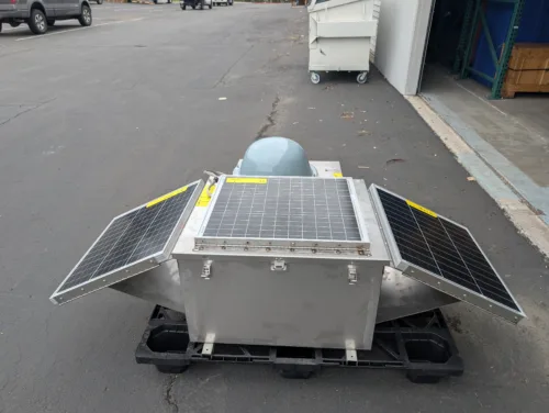
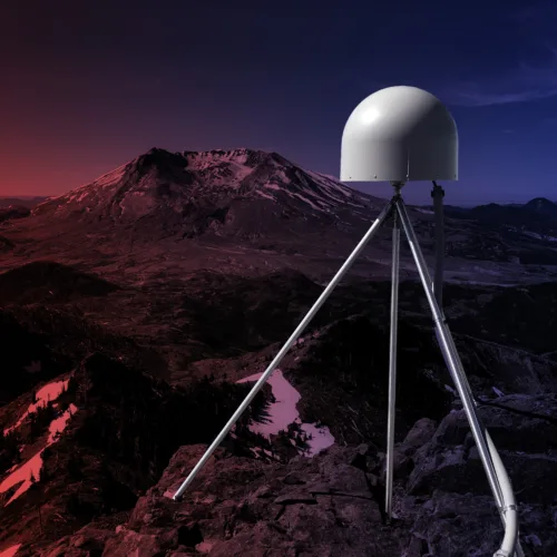
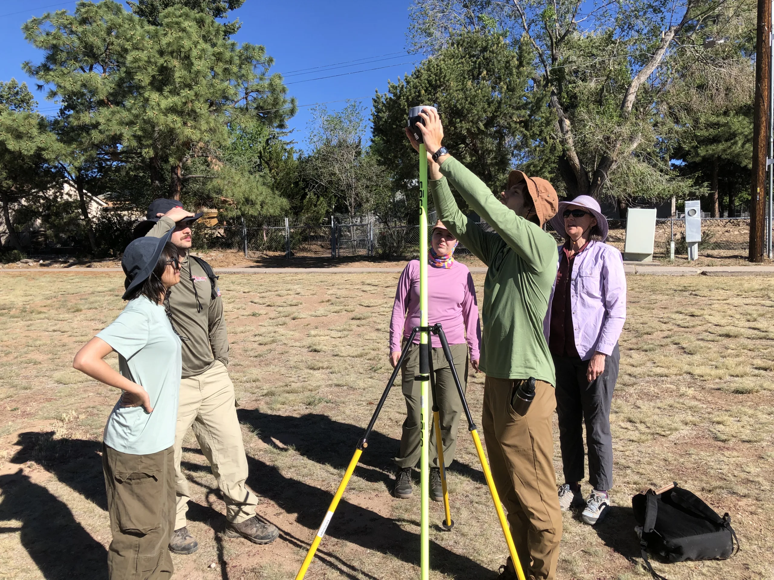
Quick construction of GPS stations by PBO engineers around Mount St. Helens helped scientists observe the 2004 eruption.