

It’s been 22 years since the U.S. National Science Foundation first funded an ambitious project to build a large-scale geodetic network we now know as the Network of the Americas. An enormous amount of work has gone into that network, and an enormous amount of science has come out of it. As the NSF GAGE Facility award reaches its end, it’s worth looking back at how we got here.
History
In the 1990s, technological strides for GPS instruments led to the creation of regional networks of permanent instruments, like SCIGN (the Southern California Integrated GPS Network) and PANGA (the Pacific Northwest Geodetic Array). And that led to a bigger idea: a continental-scale network.
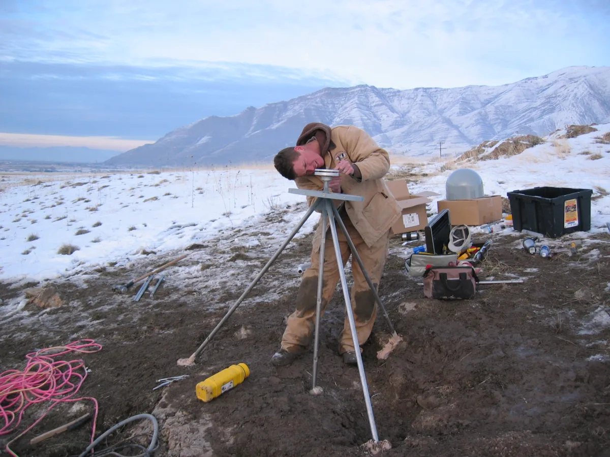
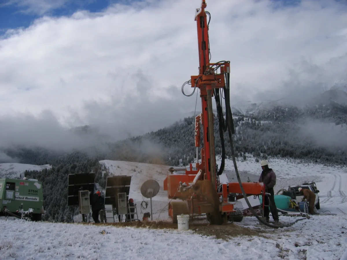
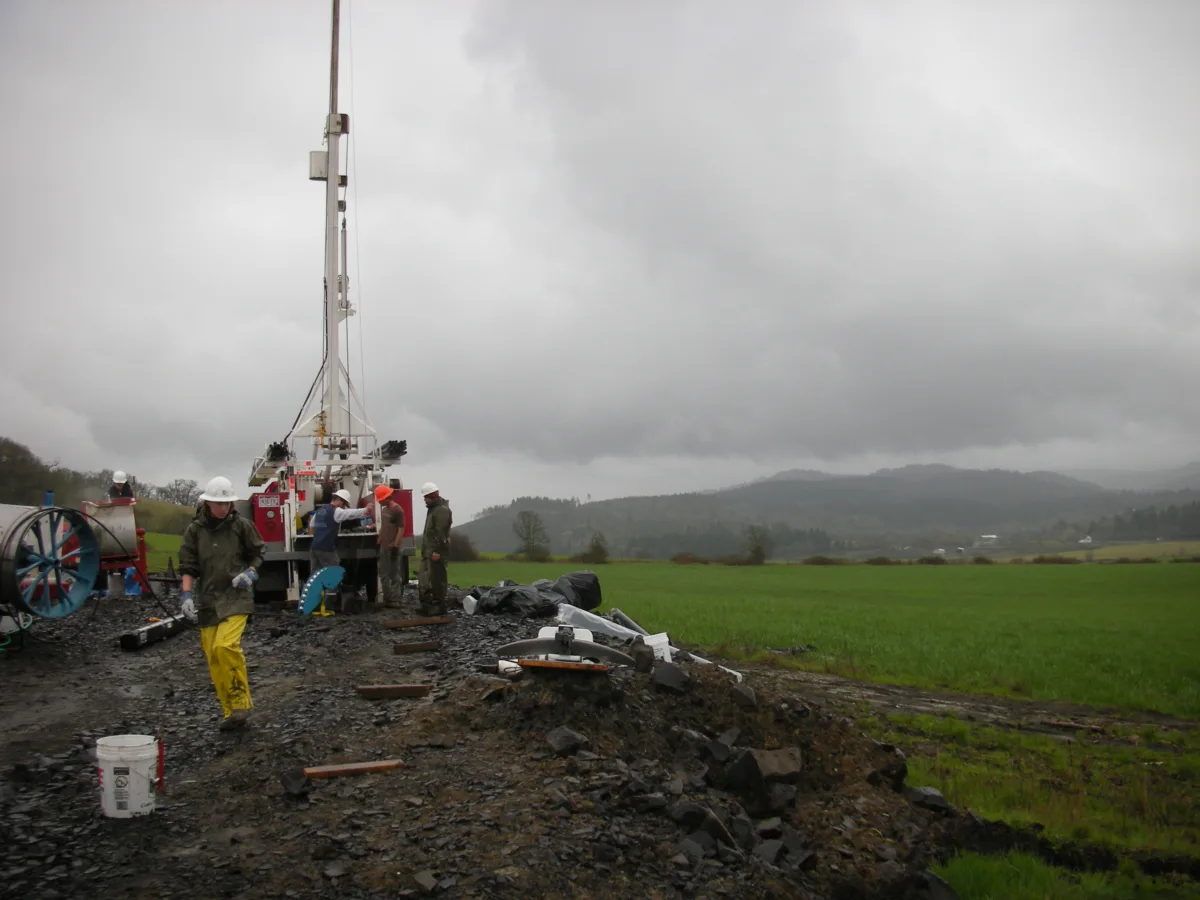
The NSF-funded EarthScope program kicked off in 2003, with this geodetic “Plate Boundary Observatory” as one of three core projects. The PBO plan called for the construction of 875 permanent GPS stations and 175 boreholes containing strainmeters and seismometers, to which about 200 GPS existing stations from regional networks were added.
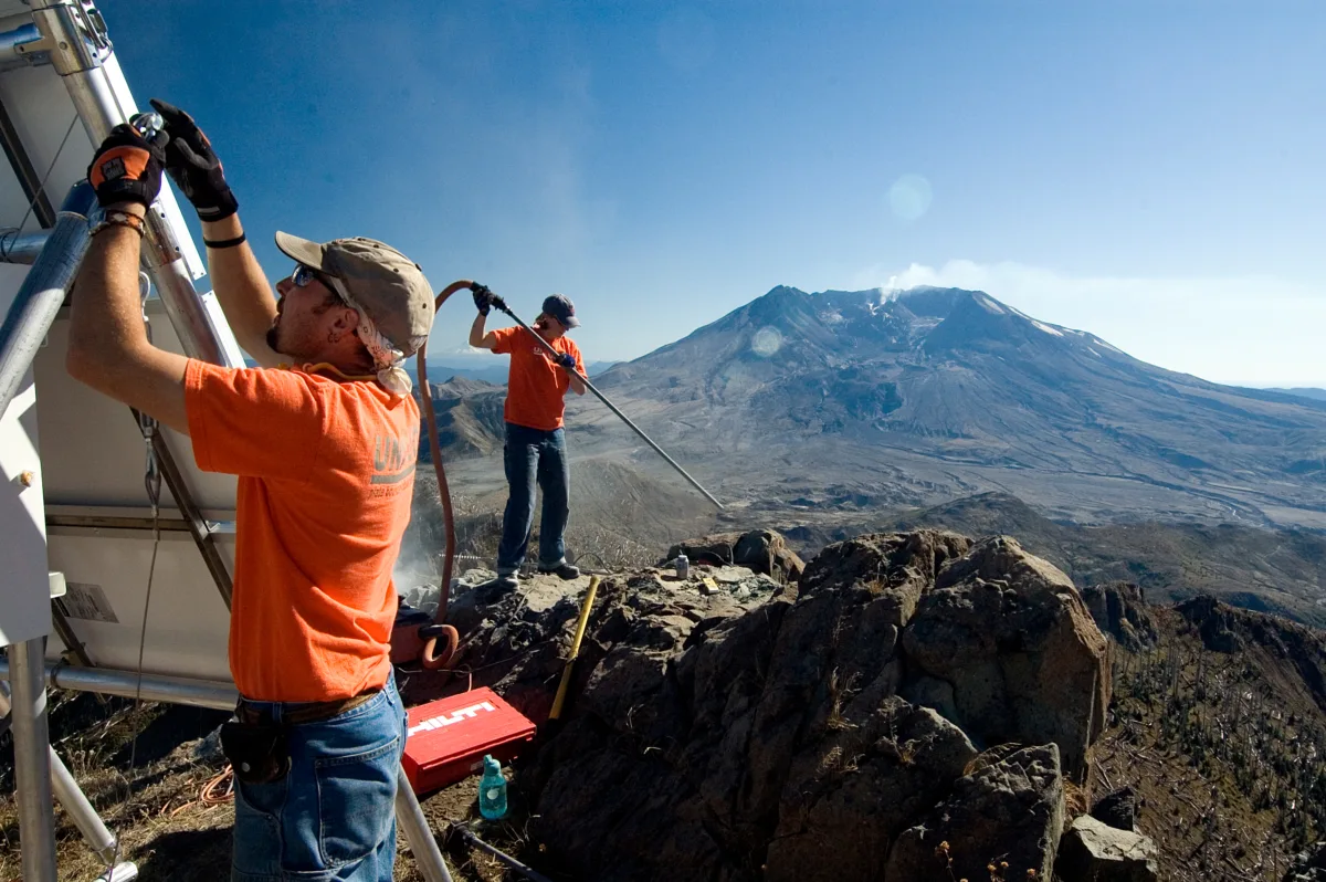
The locations of these stations were selected to focus on the San Andreas fault, the Cascadia subduction zone, and volcanoes in the Cascades, as well as the Yellowstone and Long Valley calderas.
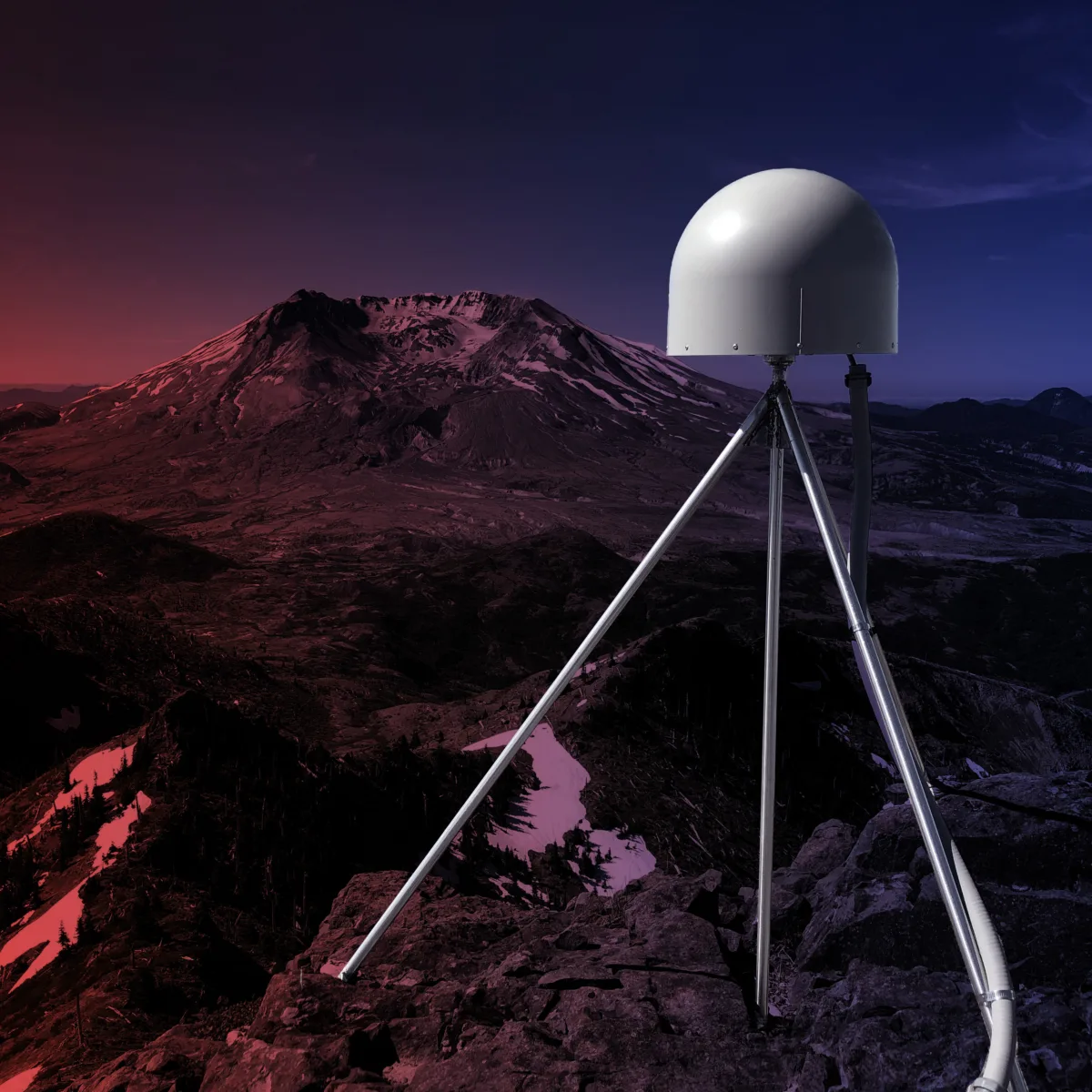
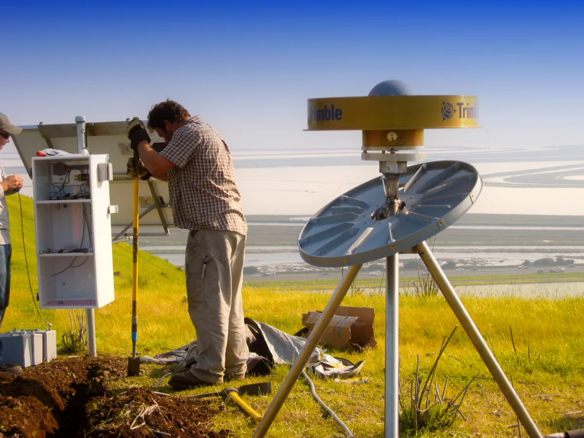
After the NSF GAGE facility award started in 2013, the 125 stations of the NSF-funded Caribbean COCONet and Mexican TLALOCNet networks were federated together with PBO, forming today’s Network of the Americas that stretches from Alaska to the Antilles. In total, the network currently contains about 1,140 GPS stations and 80 boreholes.
Scientific evolution
Given a rich new dataset, the research community did what it does best—it got creative and found more and more ways to squeeze knowledge out of it.
The network was intended to measure ground positions and strain, and this has been put to great use tracking plate motion, the earthquake cycle, and volcanic deformation. But this data also turned out to be capable of tracking regional changes in groundwater, using the solid Earth’s response like a giant scale to weigh water resources.
And in carefully and continually improving the error bars on ground position measurements, researchers found that the error-causing factors were their own datasets. Ionospheric activity and atmospheric water vapor impact the navigation satellite signal on its way to the surface. Quantifying each to remove their impact turns a geodetic network into a unique atmospheric sensor, contributing to space weather monitoring and weather forecasts.
Researchers even realized that another measure of noise responded to a station’s surroundings, courtesy of satellite signals reflecting off the ground before reaching the antenna. This means a station can be used to measure the changing height of snowpack, lake level, or ocean tides, and even vegetation growth and soil moisture.
Other technological advances—real-time streaming data, higher sample rates, multi-constellation GNSS use on top of the US GPS satellites, and real-time error corrections—opened up the door to earthquake early warning contributions. Stations in the Network of the Americas are now part of the ShakeAlert® Earthquake Early Warning System in California, Oregon, and Washington. Geodetic data make the system more capable of providing life-saving warnings in the largest earthquakes—an idea that took more than 20 years to come to fruition.
Geodetic infrastructure
We’re still just scratching the surface of the network’s value for other practical positioning applications. It enables real-time kinematic (RTK) positioning by providing reference stations that make measurements by small, mobile instruments much more accurate. This technique is used heavily in surveying, and increasingly with precision or autonomous vehicles—from agricultural machinery that make micro-adjustments to inputs at each spot within a field to self-navigating drones and cars.
And that’s not even to mention the underlying reference frame that enables precise position measurements in the first place. Some NOTA stations are among those used to create the International Terrestrial Reference Frame that defines the coordinate system on an ever-changing planet.
The Network of the Americas has evolved from its conception over 20 years ago. It is used in ways that were not on anybody’s radar when NSF first funded its creation, and it’s now seen as indispensable to research and hazard-monitoring communities, among others. NSF funding was first used to create the network, but that funding has continued in order to maintain and improve it.
If the past is any guide, the network’s future will include some things we can easily predict—and some we won’t see coming.