Ecosystem data allow us to track things like the global carbon budget, biodiversity across regions, and the impacts of wildfires or human-caused deforestation. Understanding how different ecosystems and resources could change with the changing climate is also vital for future planning. InSAR is capable of contributing to these goals. For example, it can measure forest biomass over time, and the radar waves that produce SAR images can also be used to classify and monitor crops.
Forest Biomass
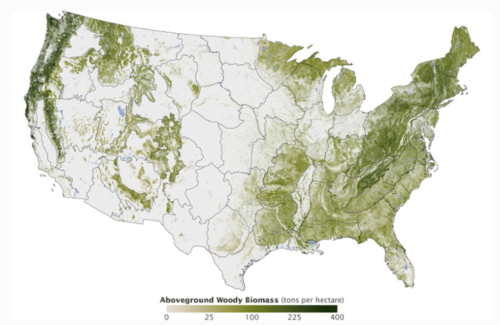
Remote stretches of land covered in forest can be difficult to travel to consistently for repeated field measurements that of total forest biomass. SAR satellites like TanDEM-X and the Shuttle Radar Topography Mission (SRTM) InSAR can be used to estimate the height of forest canopies, which then allows for estimating the volume of forest. Tracking forest height over time with InSAR will likewise provide estimates of forest biomass changes.
PolSAR
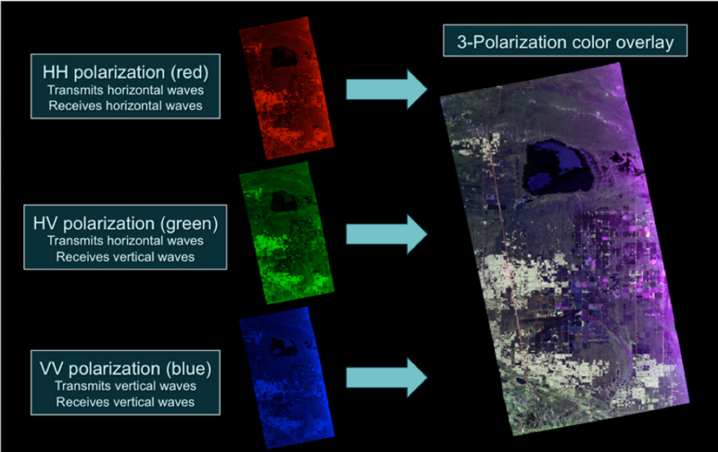
Polarization refers to the orientation of an electromagnetic wave’s oscillation—in this case, the radar waves sent to image the Earth and then received by the satellite. Waves can oscillate horizontally (H) or vertically (V), which results in four types of SAR images based on the polarization transmitted and received: HH, VV, VH, or HV. By combining SAR data of different polarizations, objects with different orientations can be discerned from the resulting image. With this technique, different types of crops and vegetation can be classified and monitored with PolSAR.