

With the NSF SAGE award wrapping up, we’re taking a moment to look back at the USArray project — just as we did recently with the NSF GAGE-supported Network of the Americas.
When the U.S. National Science Foundation funded the EarthScope program in 2003, the three main components were the Plate Boundary Observatory (now Network of the Americas), the San Andreas Fault Observatory at Depth, and USArray. The goal for USArray was to record earthquakes and image beneath North America with a dense array of seismometers. But rather than trying to carpet the entire US with instruments, a small permanent network supported a dense stripe of temporary stations that moved as instruments were relocated — a bit like a CT machine imaging your chest as you slide through.
Roadtrip
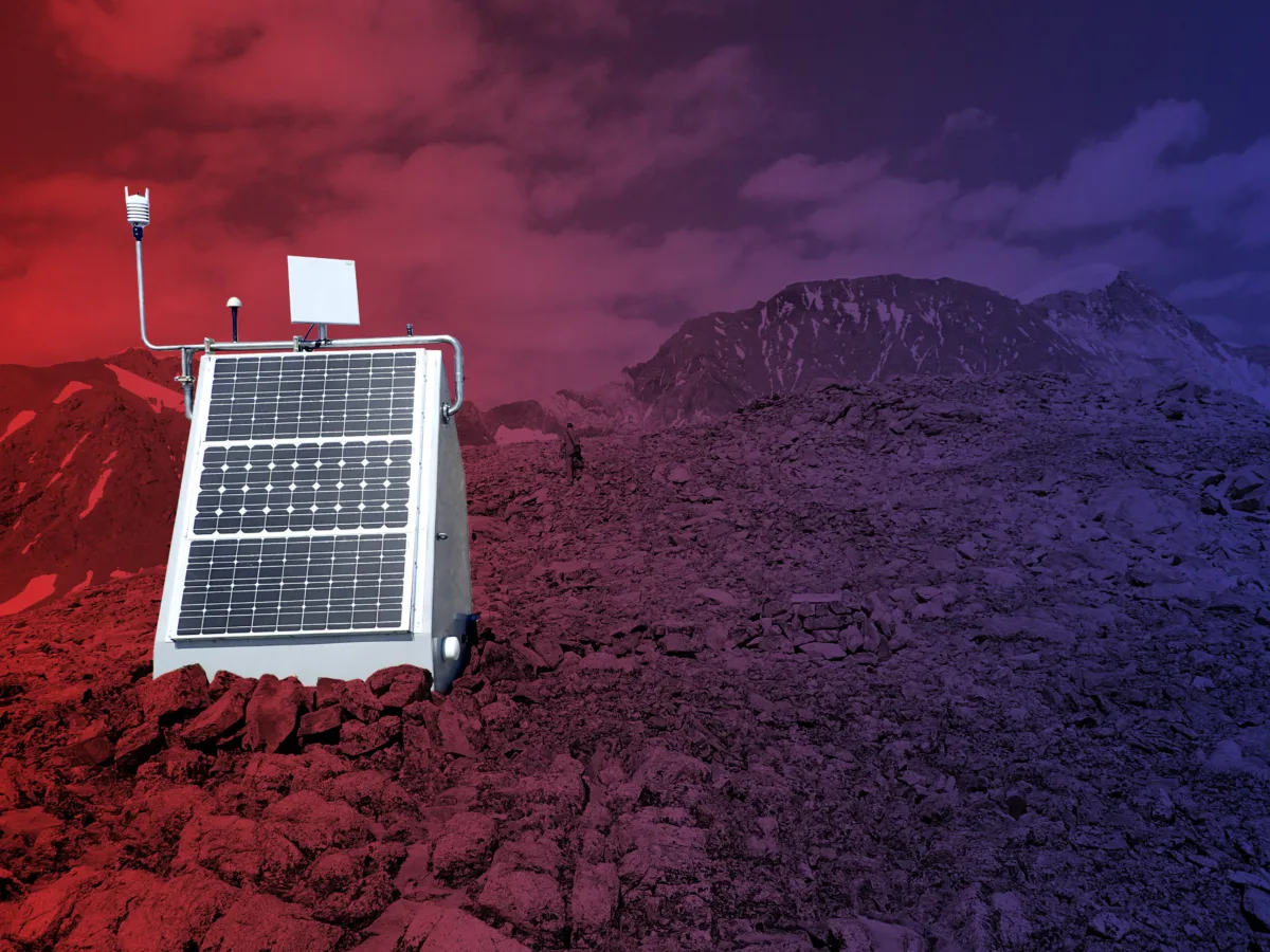
Between 2004 and 2021, seismometers were deployed in over 2,000 locations, rolling from the West Coast to the East Coast before jumping to Alaska and northwestern Canada. This required a Herculean coordination effort by a large number of contributors, from local students recruiting landowners as willing station hosts, to field engineers installing (and removing) stations, to data engineers collecting and archiving all the data to be shared in real-time.
Not all those stations were removed — for example, 159 stations remained in place to make up the Central and Eastern United States Network that is still operated by USGS and 117 stations were adopted by the Alaska Earthquake Center, Alaska Volcano Observatory, Canadian Hazards Information Center, and Geological Survey of Canada.
There were also parallel efforts, like the magnetotelluric MTArray that completed its survey of the contiguous U.S. in 2024. Pressure, infrasound, and meteorological sensors were added to stations mid-deployment, as well as soil temperature probes used to study permafrost in northern Alaska and Canada. And a large pool of seismic instruments was made available to researchers through the FlexArray, allowing for even denser coverage for localized experiments at observational targets like Mount St. Helens and the Mid-Continent Rift System.
The things we do for science
The USArray project’s imaging goals included studying the ancient and complex structures that control seismic hazards in the continental interior, the subducted oceanic crust beneath the western US, the boundary between the lithosphere and asthenosphere, and even structures in the lower mantle.
The resulting dataset has delivered on those goals. With much higher resolution imaging, pieces of subducted slabs have been identified beneath much of North America, the extent of the Yellowstone plume came into view, and the structure of the New Madrid Seismic Zone was revealed.
The array’s presence in the middle of the US in 2009-2011 also happened to coincide with the sudden increase of small, induced earthquakes associated with oil and gas operations and wastewater disposal wells in some states. That allowed for more accurate locations and detection of even the smallest events, as well as establishing a background rate of seismicity for areas without injection activity.
The dense instrument coverage and uniform station instrumentation also enabled several nascent techniques to be developed. That includes ambient noise tomography — an imaging technique that can use background noise instead of relying on earthquakes. In addition to imaging deeper structures, this has proven useful for monitoring groundwater resources.
Another example is backprojection. This uses seismic waves reaching a dense grid of uniform stations in an area to map out where the fault ruptured over the course of the earthquake. The resulting animated data plots provide excellent visualizations of fault movement, particularly for long or complex ruptures in the largest earthquakes.
And there have been more serendipitous applications, as well, extending above the surface rather than below. USArray instruments have been used to track large meteors, supersonic aircraft, and explosions through infrasonic waves producing seismic signals. Storm systems and tornadoes can even be recorded.
Fueling progress
While the USArray project has run its course, many stations continue to operate and the dataset is still constantly producing new science. And new data from other deployments are building on those results, building out an even broader picture or sharpening some area of focus.
Thinking big — in this case, continental-scale-experiment big — can pay off with jumps in scientific progress. USArray required a creative plan, major support from the NSF, and a massive amount of hard work. But the insights it yielded required that sort of ambition — you can’t get “big data” without big data collection.