Listening to seismic noise reveals slippery sediments beneath Antarctic glaciers
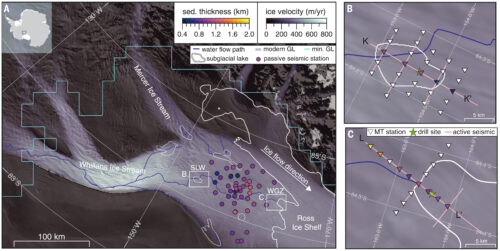
New research uses the ocean’s seismic “background noise” to map interface zones between glaciers and bedrock.
Here in the News & Features section, you can find important announcements or learn more about our work and the science we support.
Showing 1 - 5 of 5 Posts
New research uses the ocean’s seismic “background noise” to map interface zones between glaciers and bedrock.
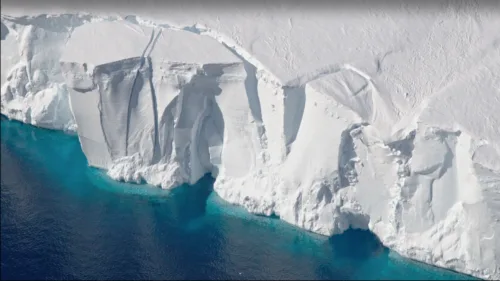
V-shaped topographic basins radiating from central Antarctica could be remnants of of the continent’s deep geologic history.
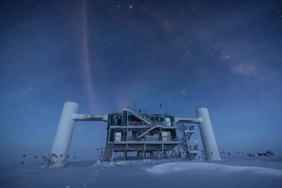
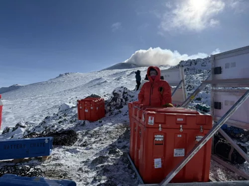
This field season, EarthScope staff spent time on Mt. Erebus for some major upgrades to the seismic network, including a new station. Final tally on batteries hauled around by helicopter? About 14,000 pounds.
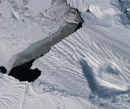
In Western Antarctica, the Pine Island Glacier ice shelf cracks and calves. One of these rifting events was observed via seismic sensors, demonstrating that while the tear was slower than expected, it’s still the fastest through-cutting fracture in a floating ice shelf ever recorded.
Antarctica’s ice sheets are on the move, with the solid ice flowing toward the surrounding oceans. This exodus toward the coasts, explains Paul Winberry, a seismologist at Central Washington University, is enabled by fast moving ice streams—regions where liquid water located at the interface between the ice and underlying subsurface facilitates an ice sheet’s seaward slide.