


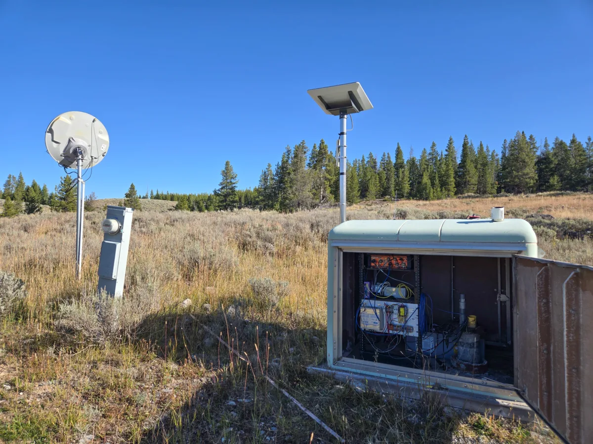
Since their installation as part of the Plate Boundary Observatory (PBO) Project, which was later federated into the Network of the Americas (NOTA), borehole strainmeter and seismic stations have been collecting key deformation datasets in Yellowstone National Park. These stations are part of a larger network of geophysical monitoring stations within the park, which are positioned to capture active deformation.
This September, all borehole sites in the park received necessary upgrades to replace their outdated dataloggers, improving data transmission, using cheaper, more maintainable hardware, without the use of external software licensing. This network upgrade also works to extend the lifespan of existing NOTA infrastructure, enabling ongoing strain, seismic, and tilt monitoring at some of the most dynamic regions in the park.
Borehole Strainmeters in Yellowstone National Park
Boreholes are narrow channels directly into the subsurface to retrieve in situ data about physical, mechanical, and chemical properties depending on what instrumentation is lowered into the borehole. In the park, instruments include seismometers, strainmeters, and tiltmeters.
Boreholes are most often drilled deep into the bedrock, but Yellowstone presented some unique challenges. Though the active hydrothermal system makes for excellent tourist attractions, these hot, acidic, and corrosive fluids could both damage the equipment as well as interfere with the signals from the instruments. For this reason, the boreholes in Yellowstone are shallower than is typical.
Of the 74 borehole strainmeters and seismometers installed as part of the PBO project between 2003 and 2018, seven are located within Yellowstone. Co-located with GNSS stations and often other instrumentation like meteorological sensors, these stations help to resolve minute deformational changes at points of interest throughout the park.
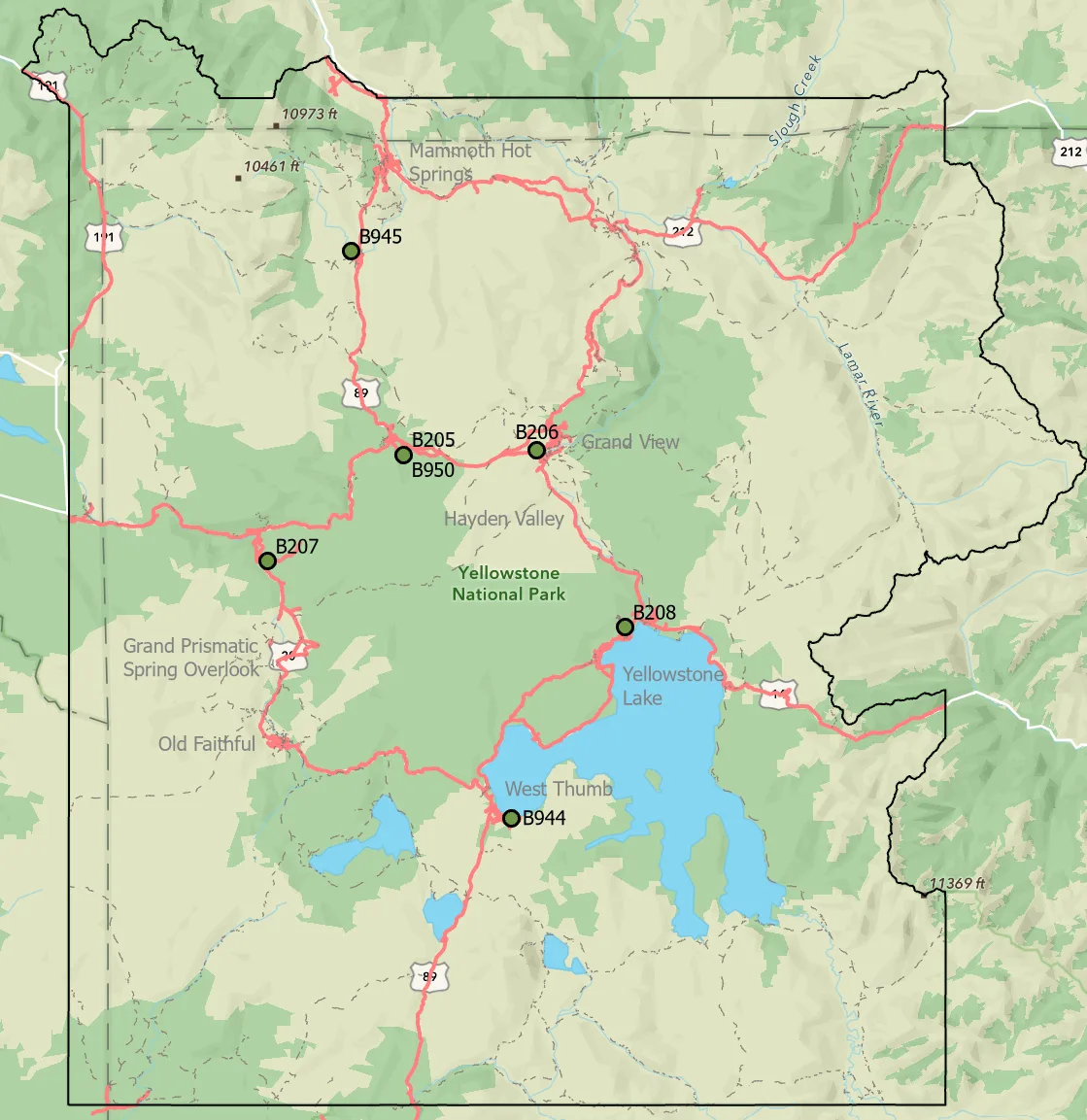
Typically, these are regions of the park located around the caldera that are known to be deforming, and where elevated levels of activity could indicate underlying processes that could affect public safety.
What is an Edge Computer?
The borehole sites at Yellowstone are now almost two decades old. Though they still produce usable data, these stations, not only at Yellowstone but at the nearly 70 other stations located outside the park, are now in the process of being upgraded with some more modern hardware. To do this, old Marmot dataloggers are being swapped out with custom-built edge computers that have both hardware and software benefits.
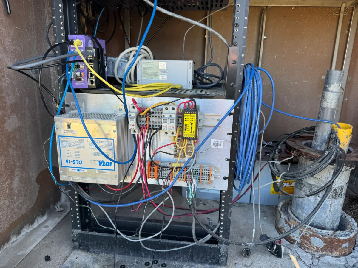
The new edge computers are cheaper to produce than purchasing the hardware they are replacing. The current dataloggers also run private software that needs an expensive licensing to transmit the data collected by the station which the new PCs do not require.
The new PCs also fit into the modern demands of the current dataflow. The new PCs allow for pre-processing at the “edge”, and moves away from the current process of pulling raw data from the instrument and processing and converting the files later on. This supports continuous streaming of data from the stations, and enables the people who use the data to view it in real-time.
Additionally, the new equipment allows for a single, central way to manage remote updates, software installs, and control configurations in bulk, rather than the current process that involves logging into field devices individually to make these changes one at a time. These PCs essentially act as a modern interface to old field hardware, giving us capabilities that the original hardware wouldn’t be able to support. The computers are managed and software deployed using the Amazon Web Services (AWS) Internet-of-Things (IoT) services. These services provide a secure way to connect physical hardware and sensors located in the field with the applications necessary to manage them.
Looking Forward
This new modernization effort is also rolling out across the Cascadia Subduction Zone, the Mendocino Triple Junction, regions of the San Andreas Fault, San Juan Bautista, Parkfield, Anza/San Jacinto, Ridgecrest, and Mt. St. Helens. In the not too distant future, a similar set up will be implemented at 40 globally located Global Seismographic Network (GSN) “II” seismic network stations. This comes directly from the success of the edge computer modernization rollout at the existing borehole strainmeter stations, which is helping to extend the life of these valuable stations.