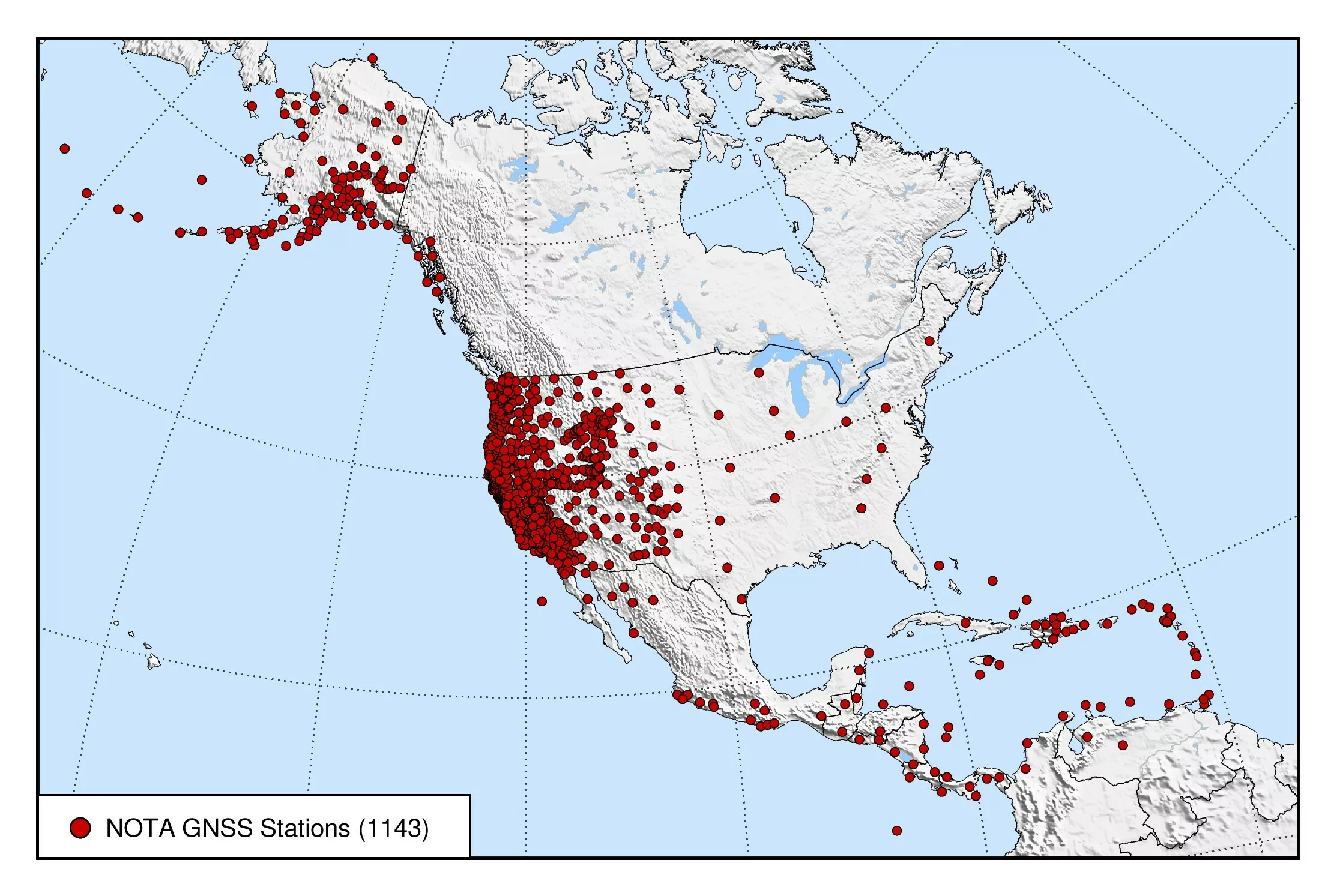
The Network of the Americas (NOTA) is an international geophysics sensor network spanning more than 20 countries and composed of more than 1,200 continuously operating instruments, including high-precision GPS (and multi-constellation GNSS) stations and borehole strain, seismic, and tilt instruments. The footprint of the network stretches from the Aleutian Islands to the Caribbean. It precisely measures the slow movement of tectonic plates and the sudden movement of earthquakes, among other solid Earth, hydrological, and atmospheric phenomena.
Under the NSF National Geophysical Facility, EarthScope Consortium has integrated and federated pre-existing, NSF-funded GPS networks into a single pan-American network that included the Plate Boundary Observatory (PBO – spanning Alaska, the continental US, and Puerto Rico), TLALOCNet (40 stations in Mexico—MRI funded), and COCONet (85 stations spanning the Caribbean). The result is the Network of the Americas.
Science and Technological Applications
Data from NOTA contribute to a broad set of scientific fields and technological applications, including seismic and volcanic hazards, water resources, space weather, and precision positioning for surveying, autonomous vehicles, and agriculture.
Visit the Learn about NOTA page for more.
Data Availability
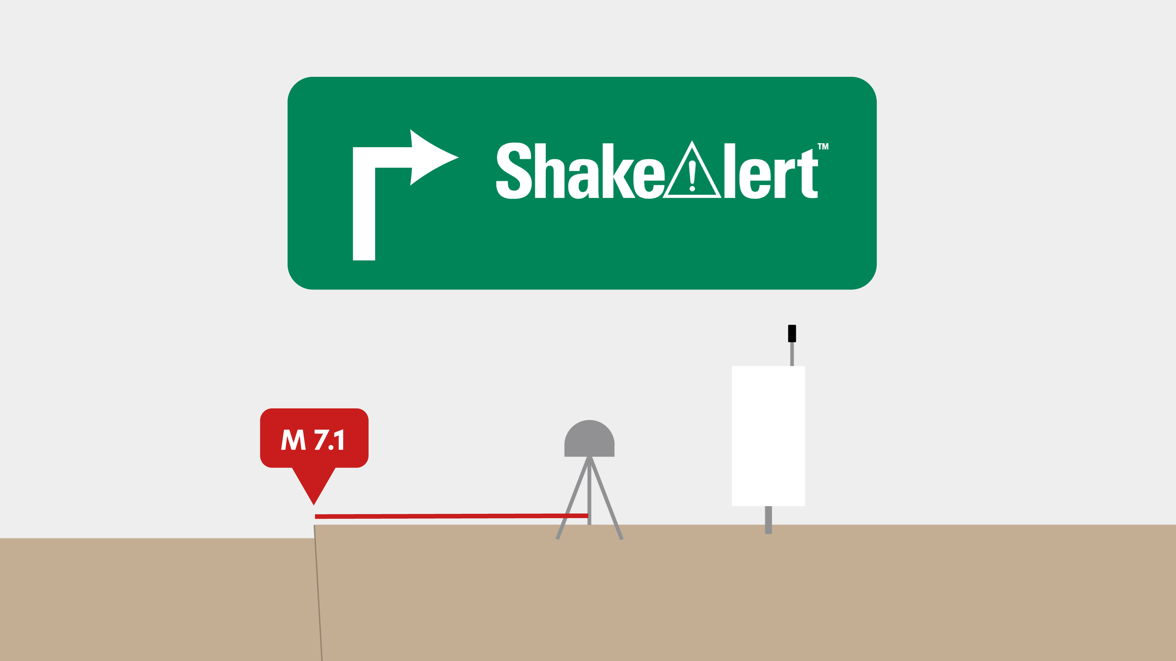
Standard-rate GNSS/GPS data are collected at 15 seconds-per-sample and archived, while many stations also record at 1 Hz. Real-time data streams are also available. Some stations also include meteorological instrument packs. Data can be accessed via our data page or data access notebooks. Strain, seismic, tilt, and pore data collected by the NOTA borehole stations are available here.
A Custom Data Request can be made for special situations at certain sites for the following:
- GNSS/GPS high-rate (1 or 5 Hz rate)
- borehole strain (processed 1 Hz rate)
- borehole seismic (200 Hz rate)
- surface laser strain (processed 1 Hz rate)