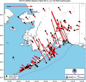
These vectors (see 30 mm/yr scale at top left) show the long-term average tectonic motion captured by GPS stations in the region.
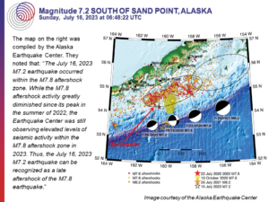
M 7.2 Alaska Peninsula
Location: ...°, ...°
Depth: ... km

Teachable Moment
Teachable Moment presentations capture that unplanned opportunity to bring knowledge, insight, and critical thinking to the classroom following a newsworthy earthquake.
12 slide Powerpoint presentation (zipped ppt 8.95 MB / pdf 2.2 MB)


