


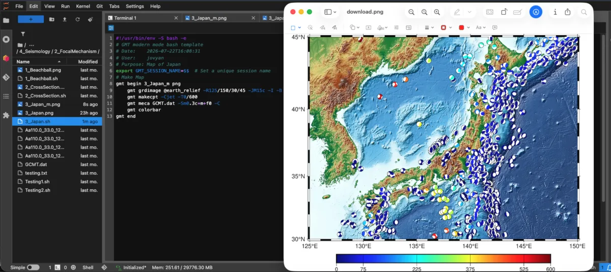
Learn how to create publication-quality maps and visualize geophysical data with the new Introduction to Generic Mapping Tools (GMT) for Geophysics self-paced course.
The course introduces Unix/Linus fundamentals and builds from basic GMT commands, mapping, and plotting to more advanced visualization techniques. The course is structured to meet you where you are, whether you are new to command-line tools or already have some experience in scientific computing. Across six modules, you’ll work with examples from seismology and geodesy while developing skills you can apply to your own scientific workflows.
The course also includes advanced GMT topics, animation, and integration with Python. All course tutorials run in GeoLab, the NSF NGF cloud-based scientific computing environment, so you can focus on learning and applying GMT without setting up the software locally.
Ready to get started? Enroll in Introduction to GMT for Geophysics today!