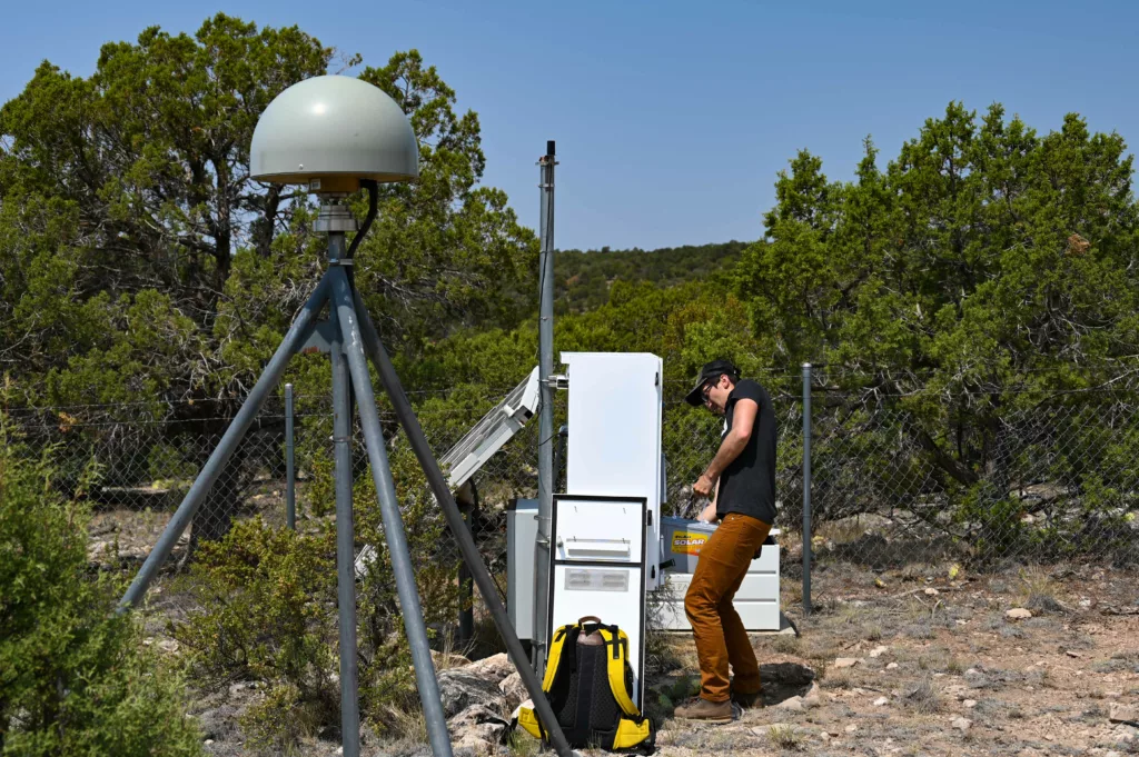
As positioning techniques and technologies have advanced, the number of use cases for geodetic-quality GNSS station data has grown. An effort initially focused on tectonics has also allowed us to probe the atmosphere and measure tides, for example. This is even true for applications outside of research, as high-precision positioning has enabled technologies that provide better solutions to old problems or open up entirely new capabilities.
We increasingly see entities using our GNSS data for commercial purposes. We believe there is an opportunity to further our science support mission and to ensure we can better meet the needs of commercial users by piloting the implementation of fees for commercial use of real-time data.
If you’re an academic, educational, or humanitarian user, nothing will change for you except that we hope to have additional resources to put towards equipment upgrades and other improvements—free and open access for science will never change. Following financial analysis and careful consideration of this plan—including information gathered from our users—we have an agreement with the National Science Foundation that ensures this activity will be consistent with our mission as the operator of NSF’s GAGE and SAGE Facilities.
The initial launch of this program includes a small number of commercial users. In the future, we intend to open up commercial real-time positioning and correction data access to other interested users. We will provide more information when this pilot is ready to expand.
If you have any questions about this pilot project, please contact commercial-use![]() earthscope.org.
earthscope.org.

